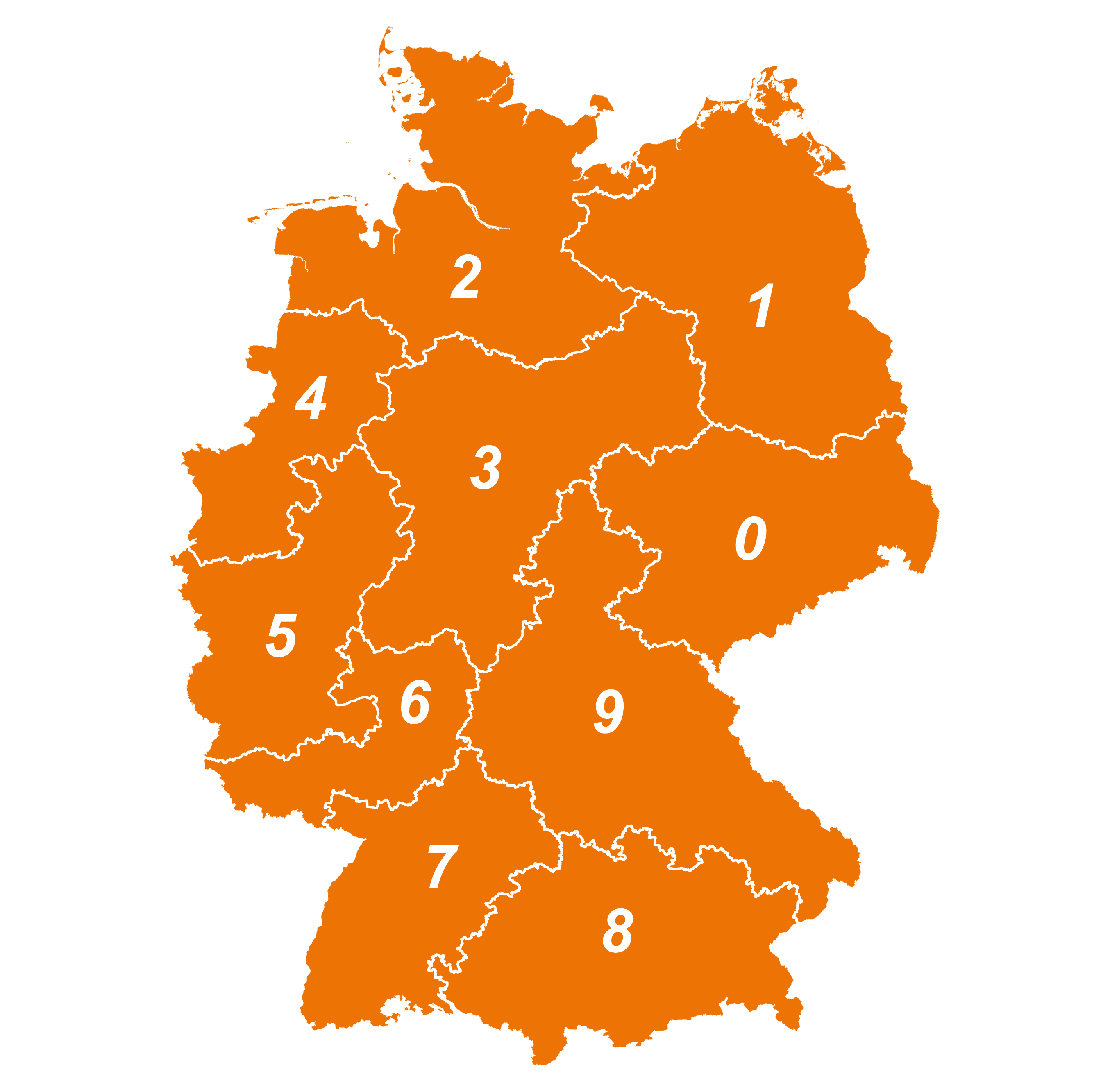
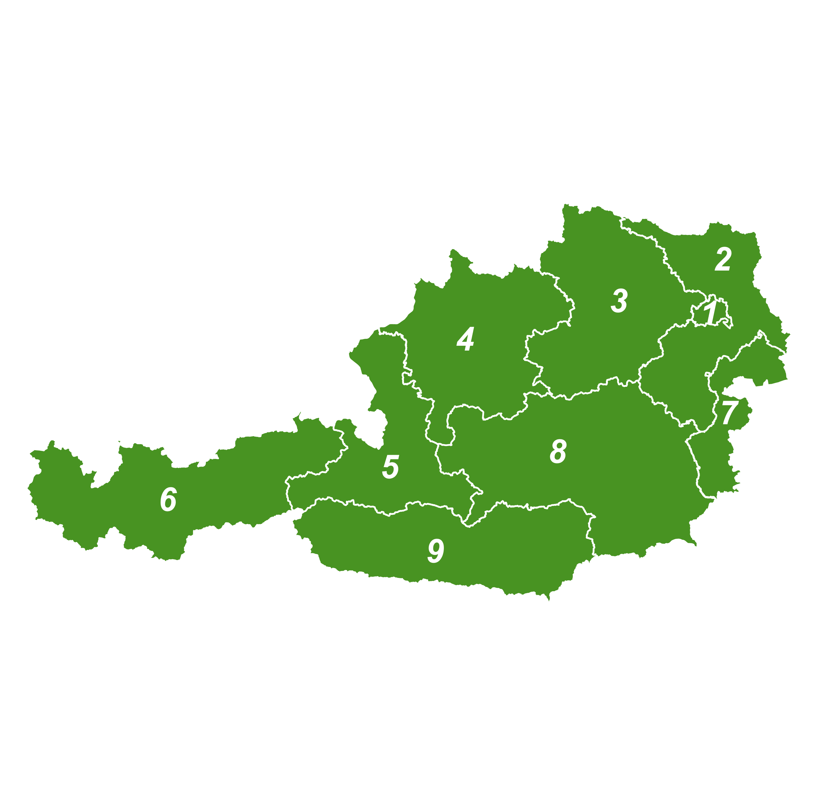
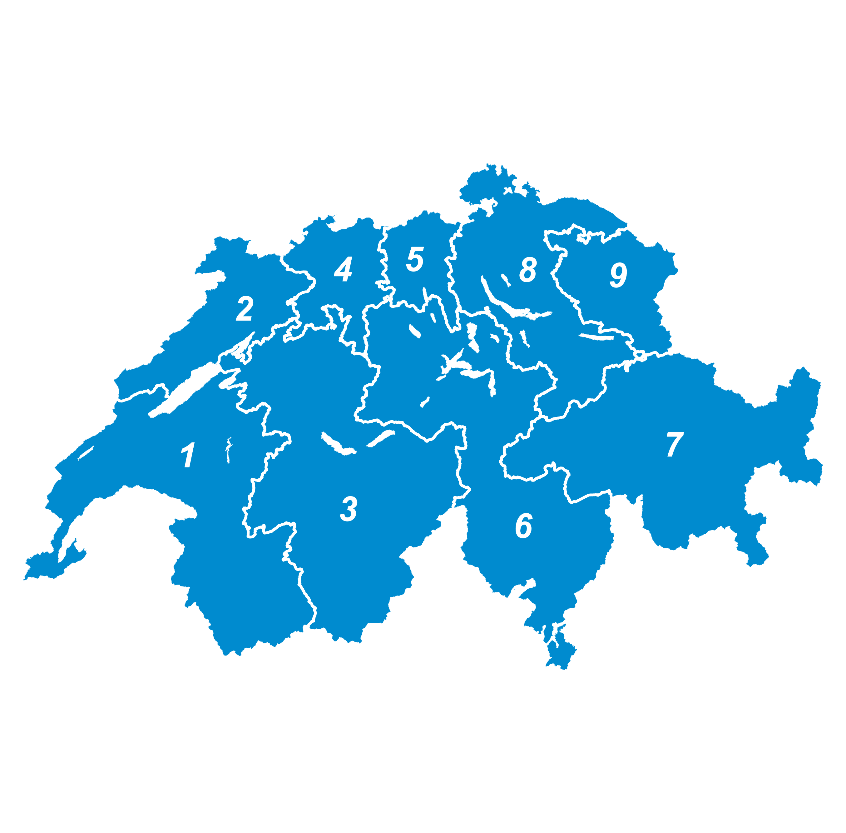
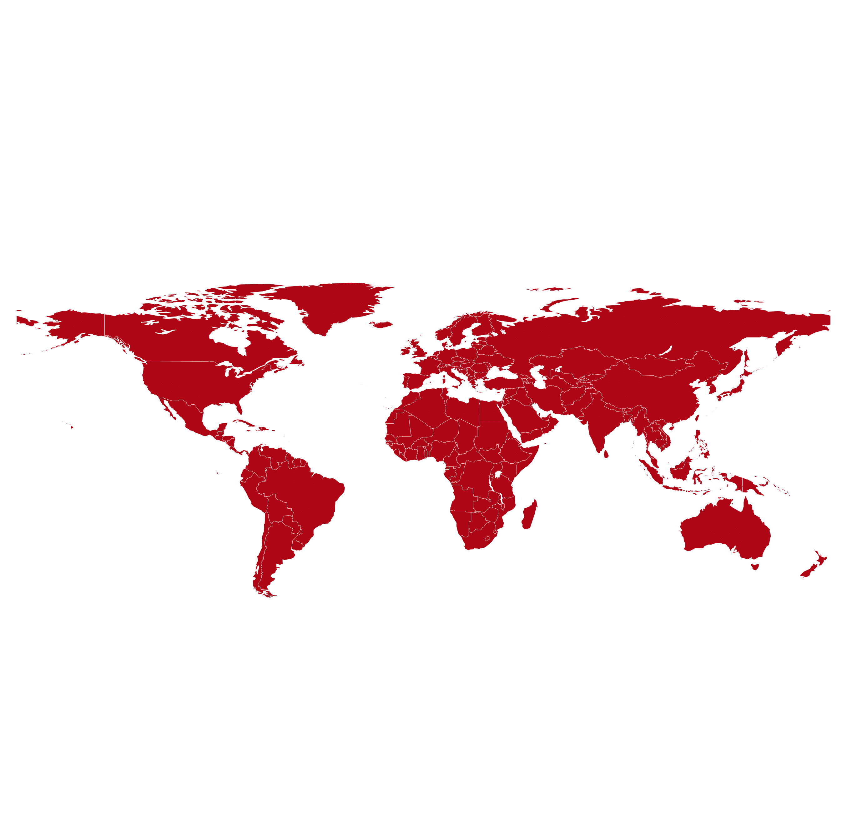
LKWs aus der Vogelperspektive

Digital Maps

We are specialists for worldwide digital maps with area boundaries, cities, buildings, infrastructures, and much more. Market and industry data, but also your individual business data can be integrated into these geographic base maps and then localized, analyzed and visualized with easymap.

Postcode Map

Traditionally, postcode maps are key in sales and marketing. The logic of postcode still offers an established form of territory classification although many customer contacts take place online today. Postal routing boundaries are available for all countries in the world that maintain a corresponding postal system.

Germany

Germany

Austria

Austria

Switzerland

Switzerland

World, Europe, USA

World, Europe, USA

Administrative Boundaries

Administrative boundaries are suitable for a clear and meaningful map representation of regional business contexts. At their levels, numerous (official) market data are also available, which can be integrated and presented. For all countries worldwide we provide fine-grained administrative boundaries, e.g.:

Germany

Germany

Austria

Austria

Switzerland

Switzerland

Europe

Europe

World

World

Parking garage from above with map projection

Worldwide Maps

Business without borders: For your expansion or for the organization of your worldwide foreign business, we offer the suitable digital maps worldwide, individually or in frequently requested cost-effective packages – but also individually put together entirely according to your international activities and ambitions. With easymap you can visualize worldwide markets, taking into account your own or supplier locations, production sites, customer residences, etc.

We support you in your international business with further more data, maps and analyses.

Street Maps

Depending on the requirements, different road map services with national or international coverage can be integrated. Including the whole road network, towns, lakes, rivers, buildings and infrastructural facilities.

Get further map contents on request.

Motorway exits at night

POI – Points of Interest

Points of interest (POI) maps contain a variety of variables depending on the focus of the study, e.g. locations of kindergartens, schools, churches, retail, businesses, doctors, hospitals, clubs, sports facilities, cafés, bars, restaurants, and much more.

The use of POI maps leads to more detailed knowledge about the conditions in a region or in the vicinity of locations. This leads to better assessments of current business activities and more accurate forecasts of business prospects.

Sector maps: Pharmaceutical Market

We provide required structures for market observation and sales force management in the pharmaceutical market as digital maps:

  • IMS Landscape® and IMS Xponent® from IQVIA©
  • RPI and RVI cells from Insight Health©
  • Boundaries of the KV district/state offices of the KV

Suitable additional data for calculating market potentials: Statutory/privately insured persons, households (number, size, income, children), inhabitants (number, gender, age, birth rates, migration background), purchasing power (general, OTC purchasing power, online/offline)

Medication on a map
Energy Market Electricity Grid Operator Map

Sector maps: Energy Market

For the energy market, we provide all relevant structures. This enables analyzing and planning any area as an energy market, including:

  • Network operators: electricity and gas
  • Basic supplier electricity and gas
  • Electricity control areas and gas market areas

A useful addition is further market data such as inhabitants, households, buildings, businesses or also postcode/location directories.

Button

Easy to test

With the free download of easymap professional, you can convince yourself of the software’s performance easily and without obligation. The full range of functions, including pro features for any test analyses, is available to you for a full 30 days. We will be happy to help you!

Draufsicht Arbeitsplätze Collage mit Karte