Top view with parasols and city names

easymap professional

Do you want to redefine sales territories or optimize the existing structure? Do you want to review your sites or are you looking for new sites? Do you want to share your maps easily and quickly? easymap professional is the right software for a wide range of questions.

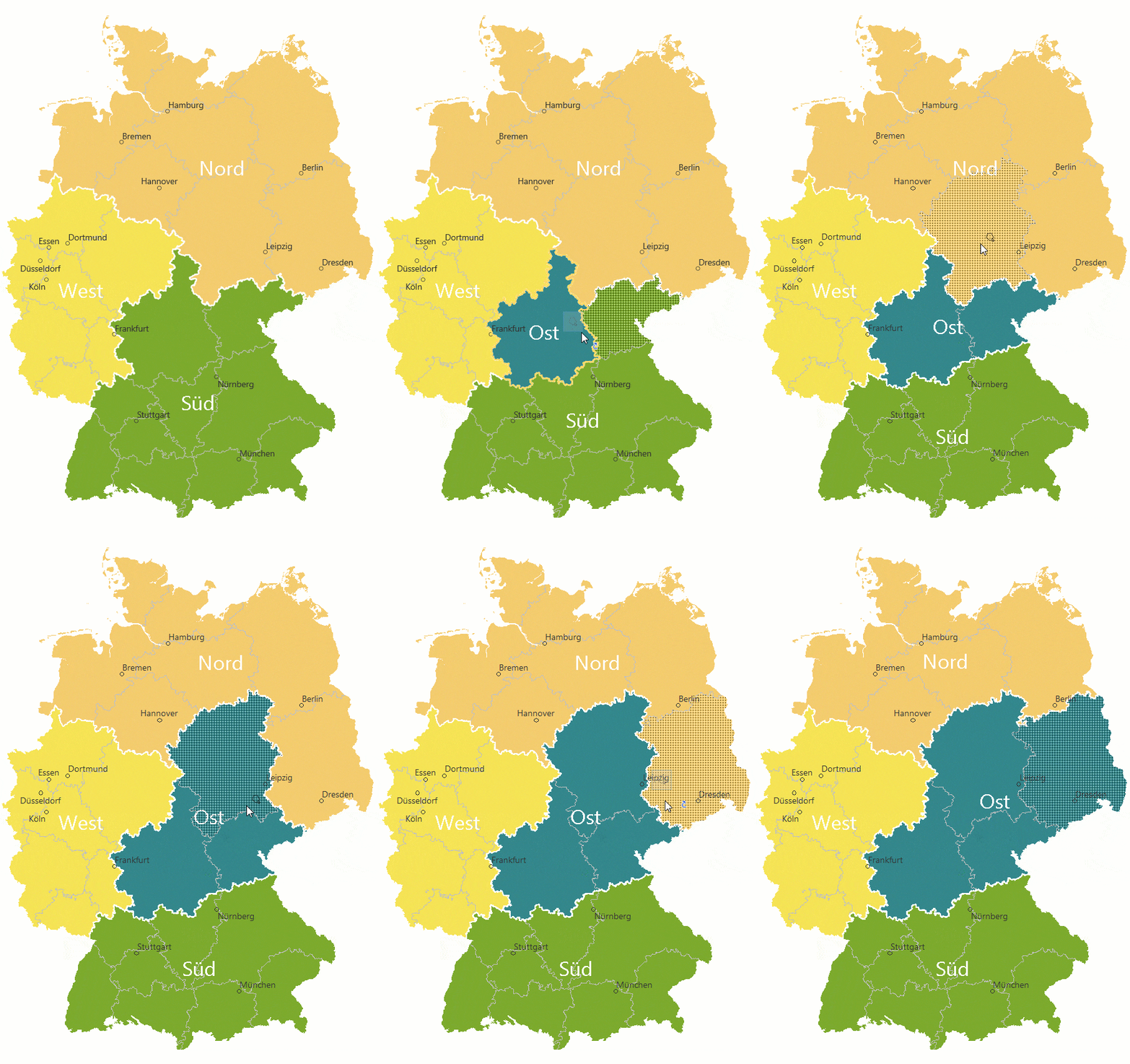
Planning and documentation of territory structures

Beyond the functionalities of easymap office, easymap professional offers options for planning and reorganizing sales territories and locations. Web access to all key results in map and table with easymap explorer also allows sharing with your teams.

Territory planning through district manager functionalities

district manager functionalities are used to perform detailed analysis, planning and reorganization of your sales territories or locations. Your organizational structure can be documented using reports and supplemented with tables and maps. For example, map changes in your company structure, sales figures or customer structure on the basis of your own company data.

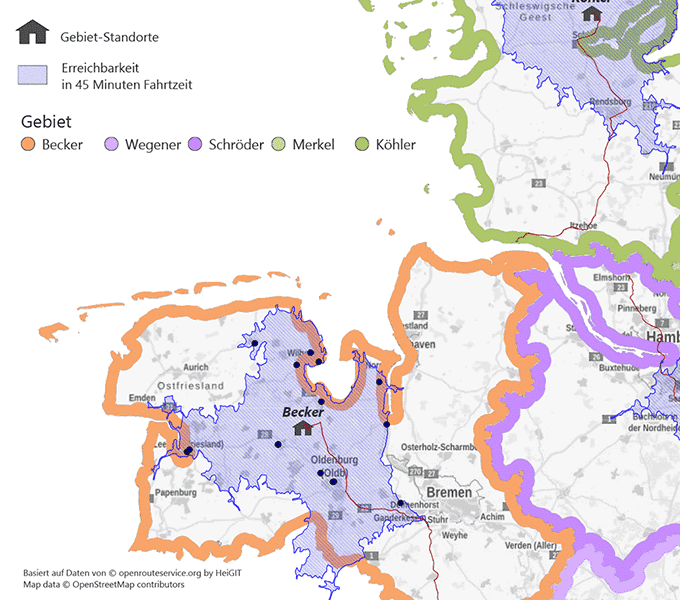
Consideration of travel distances and travel times

Advanced functions taking into account travel distances and travel times as well as worldwide address-accurate geocoding are central functions for optimal location planning and field service control. Access to business addresses via Data as a Service (DaaS) allows you to gain even more knowledge about your markets.

Kartensc
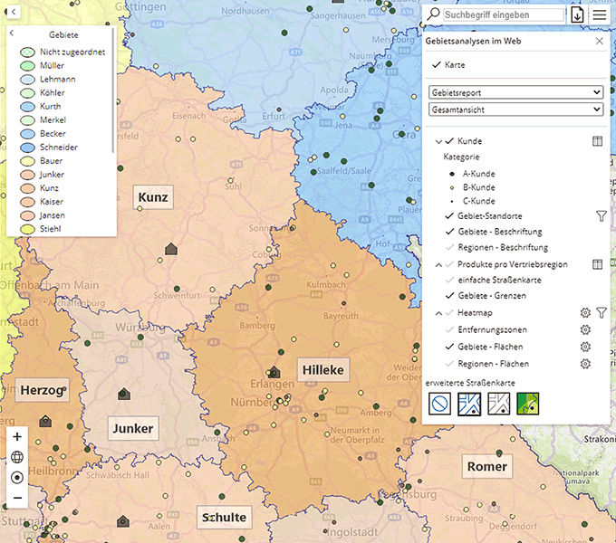
easymap explorer Webkarten

Share interactive web maps

Ideal for sharing maps with any user is easymap explorer integrated in easymap professional. It is very easy to share the previously created maps interactively with employees in the field and in the office via our web viewer easymap explorer everywhere and on all common devices.

With easymap professional you will reach your goals

No matter which of these challenges you face, easymap professional is the right solution for:

  • Objective evaluation of areas and locations according to workload and potentials
  • Optimization of territories and locations according to relevant criteria such as turnover, number of customers, frequency of visits, employee residence, travel distances or travel times
  • Analysis of territories: Sales territories, sales force, market territories, potential territories
  • Visualization of any type of locations: company locations, branch locations, customer addresses, competitor locations
  • Identification of ideal locations
  • Determination of addresses in accessibility zones (driving distances and driving time) of your locations
  • exact representation of addresses through worldwide geocoding
  • Industry-specific enrichment of potential addresses
  • Central deployment control for e.g. service, sales, customer service
  • Map sharing of relevant regional evaluations, for example as a decision-making basis for management, controlling or as feedback to the sales department

Sales Territory Planning

Visualize your sales territories and locations on digital maps. Precise analyses make it possible to plan your area splits and locations in an optimized way.

Icon global coding

Worldwide geocoding

Geocode addresses worldwide and house specific and add them your maps. Understand international markets and localize worlwide potential.

Icon Routing Functions

Routing functions

Create accessibility analyses using travel time / distance isochrones from a location and calculate routes based on road network maps.

Icon data-as-a-service

Data as a Service

Access numerous market and geodata via a cloud service directly integrated in easymap and gain significantly more knowledge about your markets.

Button

Easy to test

With the free download of easymap professional, you can convince yourself of the software’s performance easily and without obligation. The full range of functions, including pro features for any test analyses, is available to you for a full 30 days. We will be happy to help you!

This post is also available in: DE