New in easymap professional: Calculate real distances and travel times between locations.
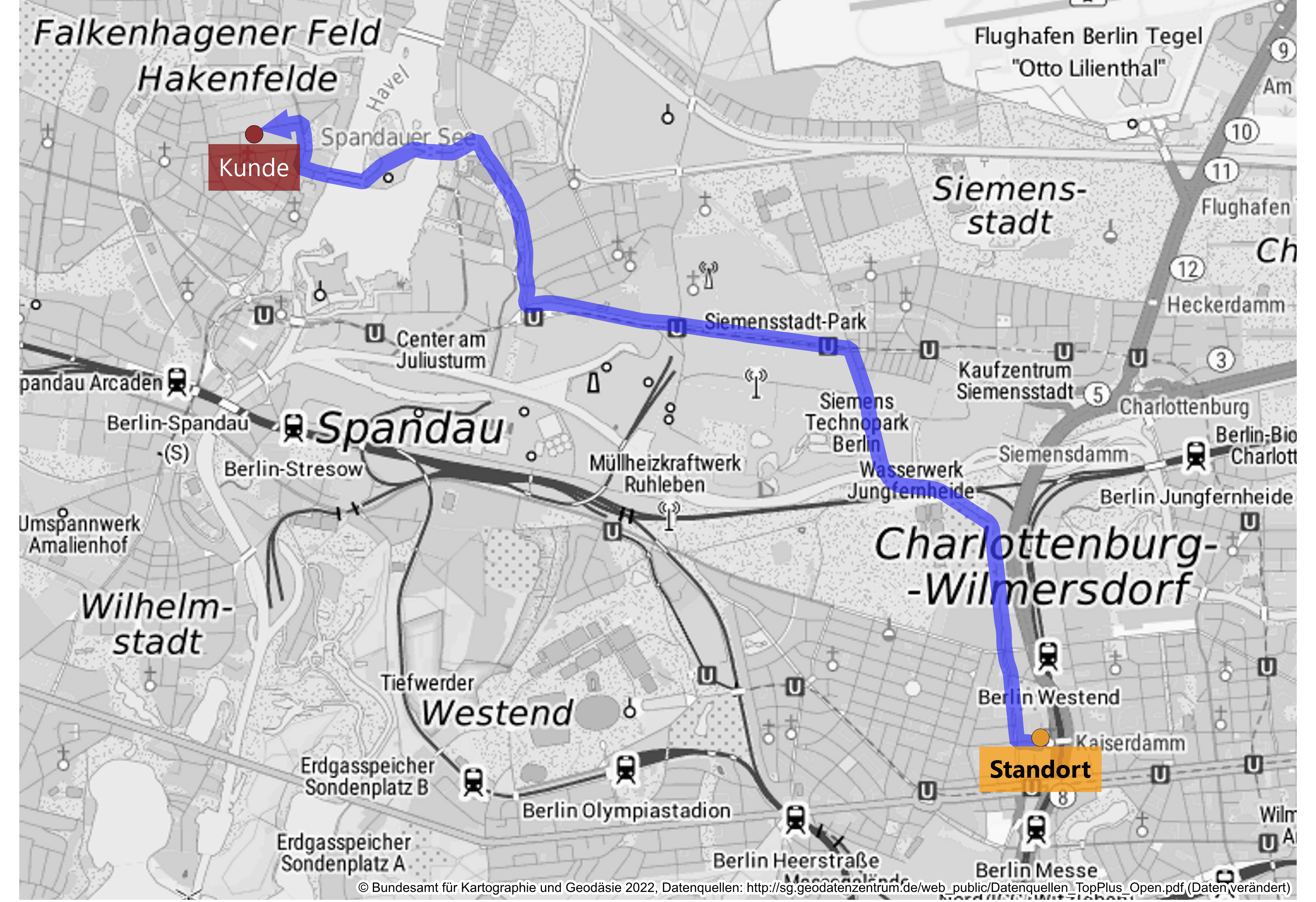
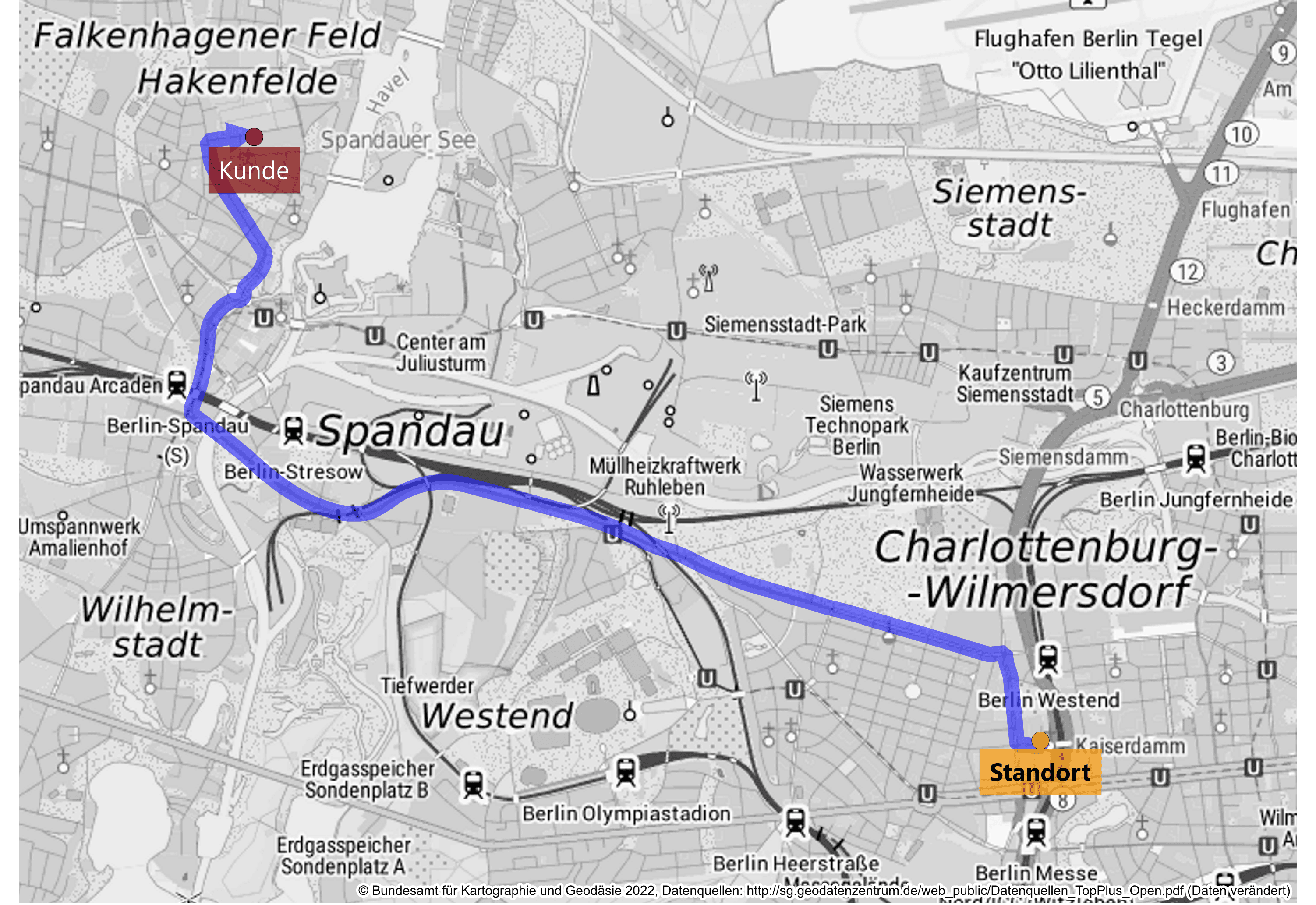
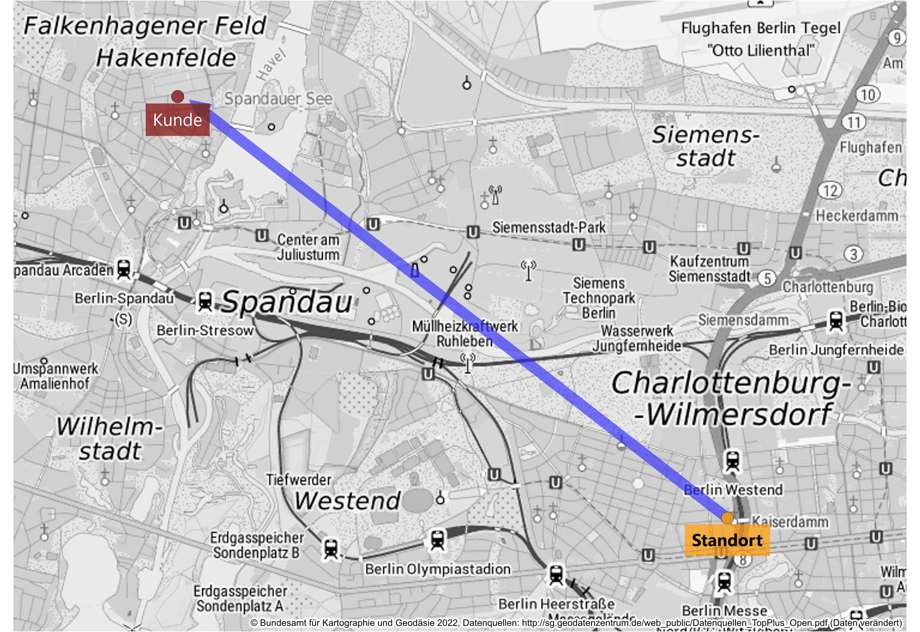
With our new software update, you can now calculate the distances between your locations or customer points not only as the crow flies, but also according to travel times or driving distances.
Location planning and sales territory optimization now even more precise.
Would you like to calculate the distance between two locations – and not just measure it as the crow flies? Would you like to know how much time your sales representative needs to get to his customers? In the extension of the pro functionalities, the distance and time calculation is implemented in the new easymap update in the relationship analysis. Now you can choose between traditional relationship analysis based on air lines or based on travel time and distance! With an analysis you can find out in easymap professional how many kilometers are between your different locations. This allows you to better evaluate routes in sales and find alternative options.
Travel times and distances in easymap professional
In easymap professional you can already make various calculations based on the shortest driving distance and fastest driving time. Isochrones can be used to create accessibility analyses around your locations, which are calculated as new areas in easymap. For example, you can calculate how many and which customers your sales representative will reach within a 100km driving distance around the location.
By implementing this feature in Relationship Analysis, you can now also calculate distance by driving distance or driving time between two locations. This new feature allows you to transform connections between your locations and customer points from simple air lines into individual routes. The calculation options available to you are shortest driving distance and fastest driving time. In the field, this allows you to evaluate and optimize routes in detail. Analyze, plan and optimize your sales territories and locations in detail, taking into account real distances and travel times.
Calculate routes easily
With the Relationships command in the Analyses menu, easymap offers the possibility to display relationships between territories or locations on the map (e.g. commuter relationships, migrations, flows of goods or purchasing power). For this purpose, a line or an arrow is generated for each relationship between two areas or locations. easymap initially calculates the connecting lines in the default setting as the crow flies. In easymap professional, the lines can be converted into routes via the properties of the analysis. The routes differ in the calculation depending on the setting of the shortest driving distance or the fastest driving time. Moreover, in addition to the car, you have the choice between the means of transport truck, bicycle and pedestrian. For the calculation of the routes credits are used, which are included as a contingent in the delivery of easymap professional or additional ones can be booked at any time.
Special offer: Save 22% on easymap professional now!
Contact us and get 22% discount on easymap professional and other exciting products until the 22nd of December 2022: BLACK WEEKS 2022: Promotional items now at 22% off. Are you looking to redefine sales territories or just optimize the existing structure? Do you want to review your locations or are you looking for new locations? Would you like to share your maps easily and quickly with others? easymap professional is the right software for a wide range of questions.
This post is also available in: DE


